Paris map by Bernardin-Béchet & Sons – 1893
80.00€
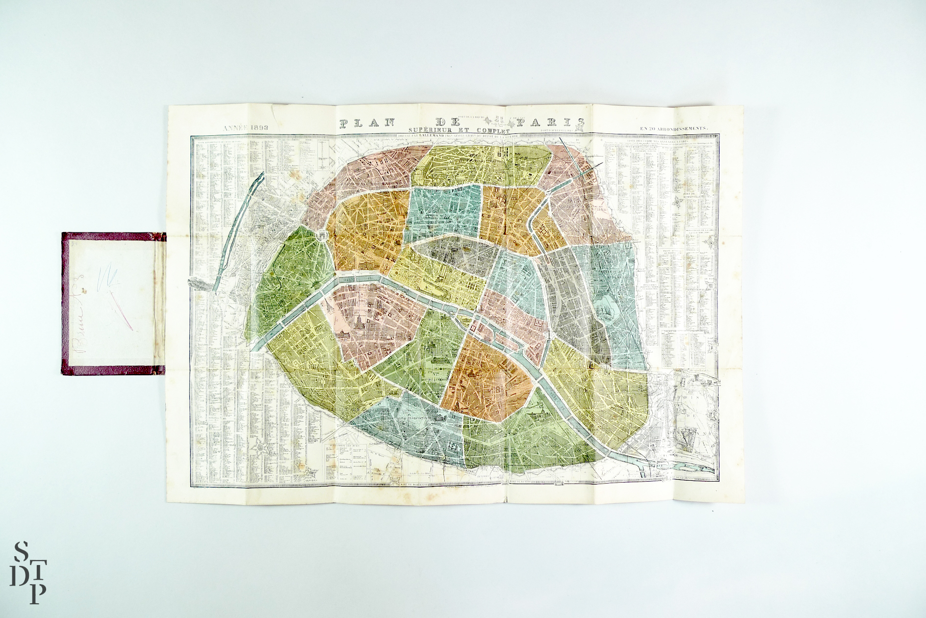
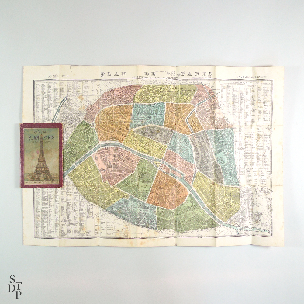
New Paris map, complete and illustrated, published by Bernardin-Béchet & Fils
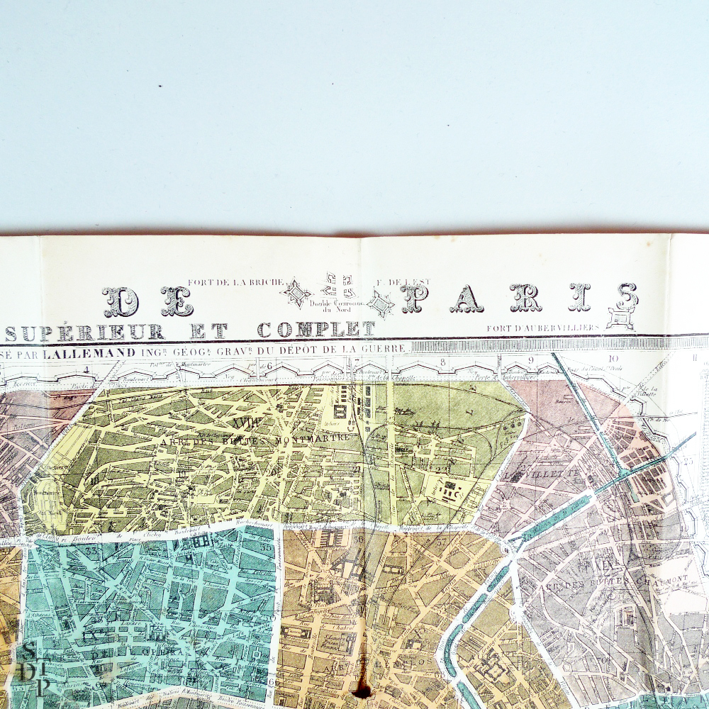
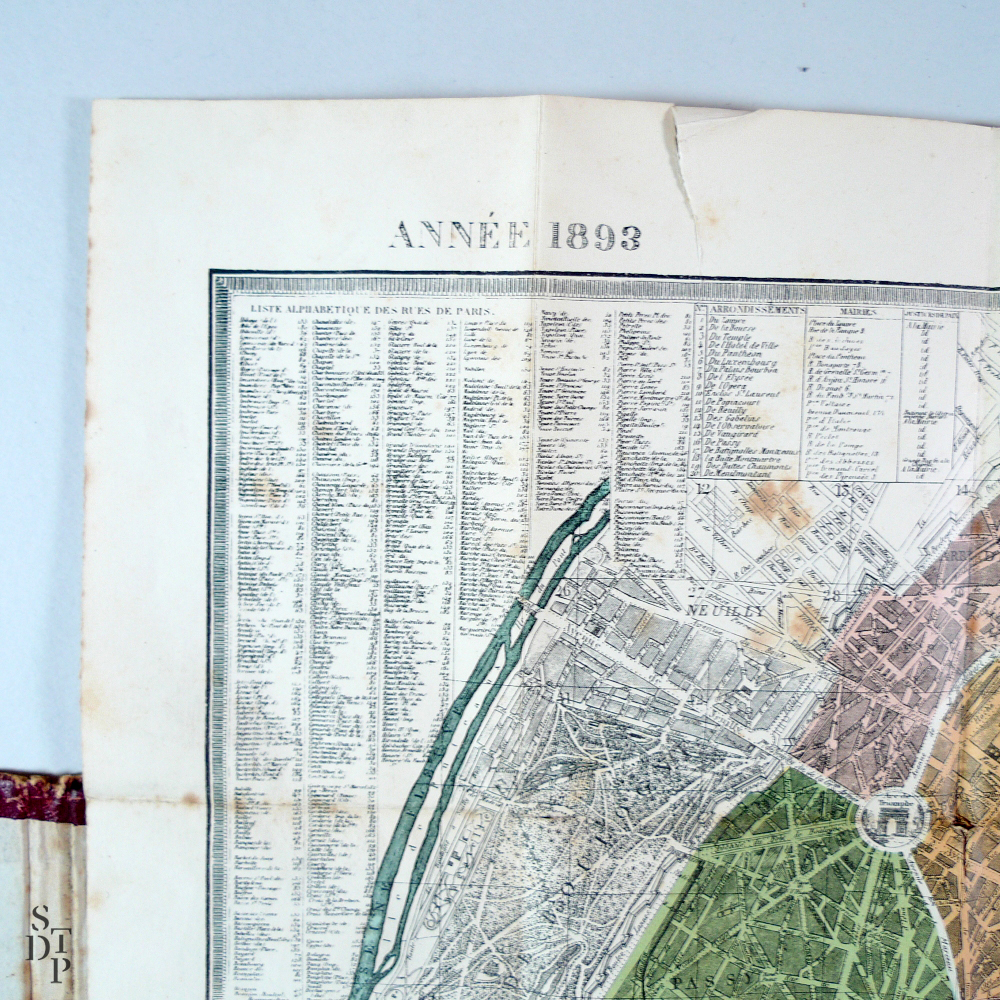
Superb Paris map from the late XIXth century, drawn by Lallemand, geographical engineer and engraver at the Military cartography office, with the annexed city list on the top right area, and lower, a list of the new Paris gateways. Illustrated hard cardboard cover.
Published in 1893. Of course, no signs of any subway line…
—
Condition :
Good condition, signs of wear on the cover. Some slight folding tears, tear in the margin on the top left area, some foxing.
—
Dimensions :
Folded : 9 x 14 cm / Unfolded : 38,5 x 55,5 cm
1 in stock


